

Doggerland: the drowned country under the North Sea
A real lost land, inhabited by real people, submerged within the last ten thousand years. It requires no speculation at all — trawlers keep bringing bits of it up.
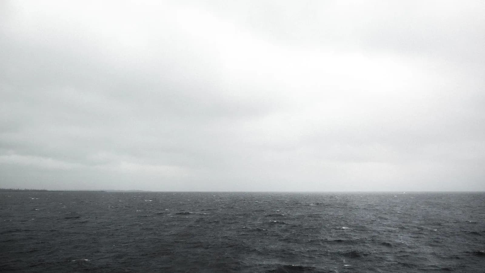
The southern North Sea was dry land within the last ten thousand years.
This site treats Atlantis as a literary problem, because that is what it is. Doggerland is the opposite case: a genuine drowned landmass, populated, mapped in increasing detail, and established beyond argument.
At the end of the last glaciation, sea levels were far lower. Britain was not an island. The area now covered by the southern North Sea was land — river valleys, marsh, woodland and lakes, connecting East Anglia to what is now the Netherlands and Denmark.
How we know
Fishing trawlers. For over a century, boats working the Dogger Bank and surrounding grounds have brought up mammoth and rhinoceros bone, antler, and worked flint from their nets.
In 1931 a trawler recovered a barbed antler point — a hunting weapon — from a mass of peat. That object established that the seabed had been not just dry but inhabited.
Since then, seismic survey data collected by the oil and gas industry has been reanalysed to map the buried landscape. River channels, coastlines, hills and lake basins have been reconstructed across thousands of square kilometres.
What happened to it
Two things, over different timescales.
Gradual inundation as ice sheets melted and sea levels rose, drowning the lowest ground first and progressively shrinking the habitable area over thousands of years.
And, around 6200 BC, the Storegga slide — an enormous submarine landslip off the Norwegian coast that generated a tsunami. Deposits from it have been identified in eastern Scotland and around the North Sea. Whatever remained of Doggerland at that point would have been struck hard.
What the Storegga tsunami left behind
The evidence for it is physical and it is findable on land.
A distinctive sand layer, deposited by a single high-energy event, has been identified at coastal and inland sites around the North Sea — in eastern Scotland, in Norway, in the Shetlands, and in cores taken from the seabed.
It sits within peat and sediment sequences that can be dated, which places the event at around 6200 BC and ties it to the submarine slide off Norway.
What has been recovered
Beyond the 1931 antler point, the material includes mammoth and woolly rhinoceros bone, aurochs and red deer remains, worked flint, and fragments of human bone. Some has been radiocarbon dated and some has yielded ancient DNA. The finds come up in fishing nets and in aggregate dredged for construction, which means much of the record has passed through a gravel plant.
The people
Mesolithic hunter-gatherers, the same populations known from sites in Britain and northern Europe. Not a lost civilisation — no cities, no monuments, no agriculture. Small mobile groups in what was, by the standards of the period, unusually rich country.
That is the honest and more affecting version. What was lost was not a technology. It was somewhere people lived, for millennia, and then could not.
Join the discussion
Still open on this one:
- 01
Can a settlement be excavated on the seabed?
Artefacts and landscape are established; an intact site has not been excavated underwater. It is technically possible and enormously expensive, and it is the next real step.
Be the first to comment
Sources
Open them and check for yourself. Where a record is public, it is linked.
The National Heritage List for England
Historic England
The National Archives
Related
Psychic Phenomena
The Nine: who — or what — were they?
On New Year’s Eve 1952, in a laboratory in Maine, a voice announced itself as one of nine. Over the next forty years it reached a credentialled scientist, a celebrity psychic, a bestselling book and the creator of Star Trek. This is what is documented, and what is not.
Psychic Phenomena
New Year’s Eve 1952: the first session with the Nine
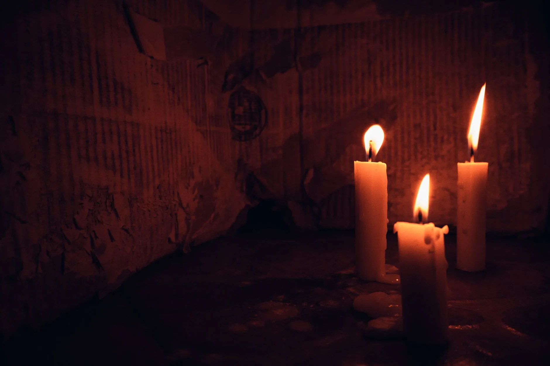
The founding event of the whole Nine phenomenon happened in a Maine farmhouse on 31 December 1952. Here is what the record supports about that evening, and how much of the familiar account was written down much later.
Psychic Phenomena
D. G. Vinod: the man at the beginning of the Nine
Every version of the Nine story starts with Dr D. G. Vinod in a trance in Maine. He is also the person that story then almost entirely forgets. Why the first channel is the biggest hole in the record.

Psychic Phenomena
Andrija Puharich: the doctor who kept turning up
A qualified physician, an inventor with real patents, an army medical officer — and the constant in forty years of the strangest story in American parapsychology. Puharich is the reason the Nine keep touching institutions.
0 comments